School of History, Archaeology and Religion
Enabling the brightest and best to explore and share their passion for past societies and religious beliefs, from prehistory to the present day.
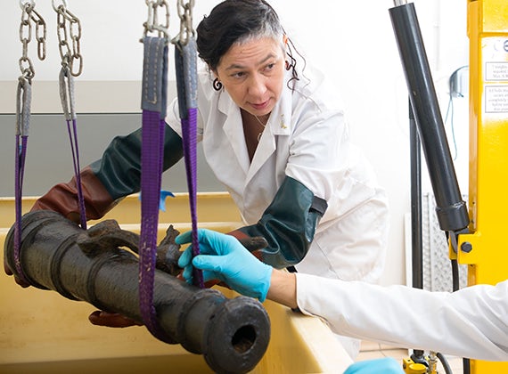
Key to advancing our close-knit archaeology and conservation community are our extensive specialist facilities, from bespoke teaching laboratories and digital and photographic suites to specialist equipment including our Scanning Electron Microscope.